

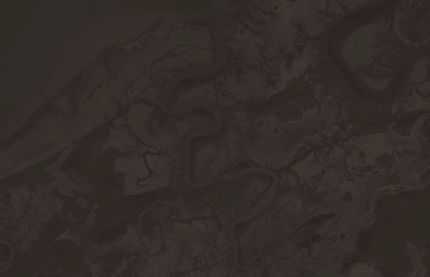
Trinity Inlet, Cairns · Sentinel-1 · Copernicus 2026 · VV backscatter, Sep 2026
Where Latera goes deepest.
Three specialist practices hold most of the work. Projects regularly cross between them and into other sectors, from energy to international development.


Burn scar, Feb 2021
01 — Environment and Land
Environment and Land
Something on the ground is changing and it needs to be measured in a way that holds up.
Latera uses satellite and aerial imagery to measure change over time: land cover and vegetation condition, disturbance and rehabilitation, habitat extent, coasts and catchments. Constraints analysis brings environmental, cultural and regulatory layers together for approvals, routing and siting. Reporting support produces outputs that survive review.
Typical outputs
Change-detection series with stated accuracy. Constraints mapping with sourced layers and a method note. Monitoring programs a client can run again.
Where this applies
Natural resource management, land councils and native title holders, conservation organisations, environmental consultancies, state agencies, proponents preparing approvals.

02 — Infrastructure and Networks
Infrastructure and Networks
A site, route or corridor needs choosing, and the constraints are physical, environmental and institutional at once.
Latera supports route and corridor planning, site selection and suitability modelling, transmission and renewable energy siting, and network design. For construction, drone capture is brought into the GIS so one system tracks a corridor before, during and after the build. Work is scoped to the engineering artefact the client needs, with cost, time and risk stated.
Typical outputs
Suitability models with weighting documented. Corridor options with permitting overlays. Drone-to-GIS monitoring cycles. Design support inside the client’s own GIS.
Where this applies
Digital infrastructure and telecommunications, transmission and renewables, property and infrastructure investors, engineering firms and prime consultants.

- Use cases delivered first three, measured
- Training and champions adoption program
- Governance named owners, standards
- Data model and migration mapping, workflow
- Platform ArcGIS Enterprise, 3-GIS — what the vendor ships
03 — GIS Strategy and Capability
GIS Strategy and Capability
A GIS has been bought and isn’t being used.
Latera works on the part of enterprise GIS that vendors don’t: the business case, the governance framework, the data model and migration path, and the training that gets a system adopted. Where an implementation is under way, Latera translates between the organisation and the vendor so decisions rest on evidence.
Typical outputs
GIS strategy and architecture. Governance frameworks with named owners. Migration workflows and data-model mapping. Champion training with adoption measured.
Where this applies
Organisations implementing ArcGIS Enterprise, 3-GIS or similar; utilities and network operators; government agencies building spatial capability.
What every practice draws on.
-
Remote sensing
Optical and radar imagery, from Sentinel to very-high-resolution; change detection and time series, accuracy stated.
-
Spatial automation
Repeatable workflows in Python, Earth Engine and ArcGIS, and bespoke tools inside a client’s own systems.
-
Methodology and governance
Method documented first, limits named, data standards and owners set, so results outlast the engagement.
Most real problems sit between two practices.